Need help finding something?
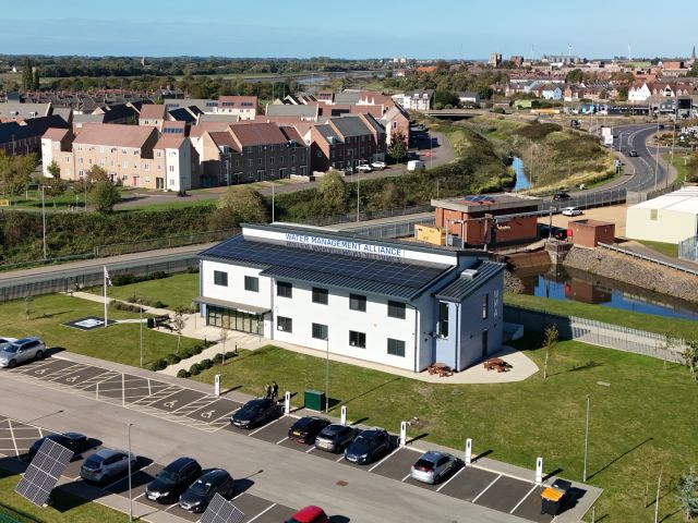
King's Lynn IDB
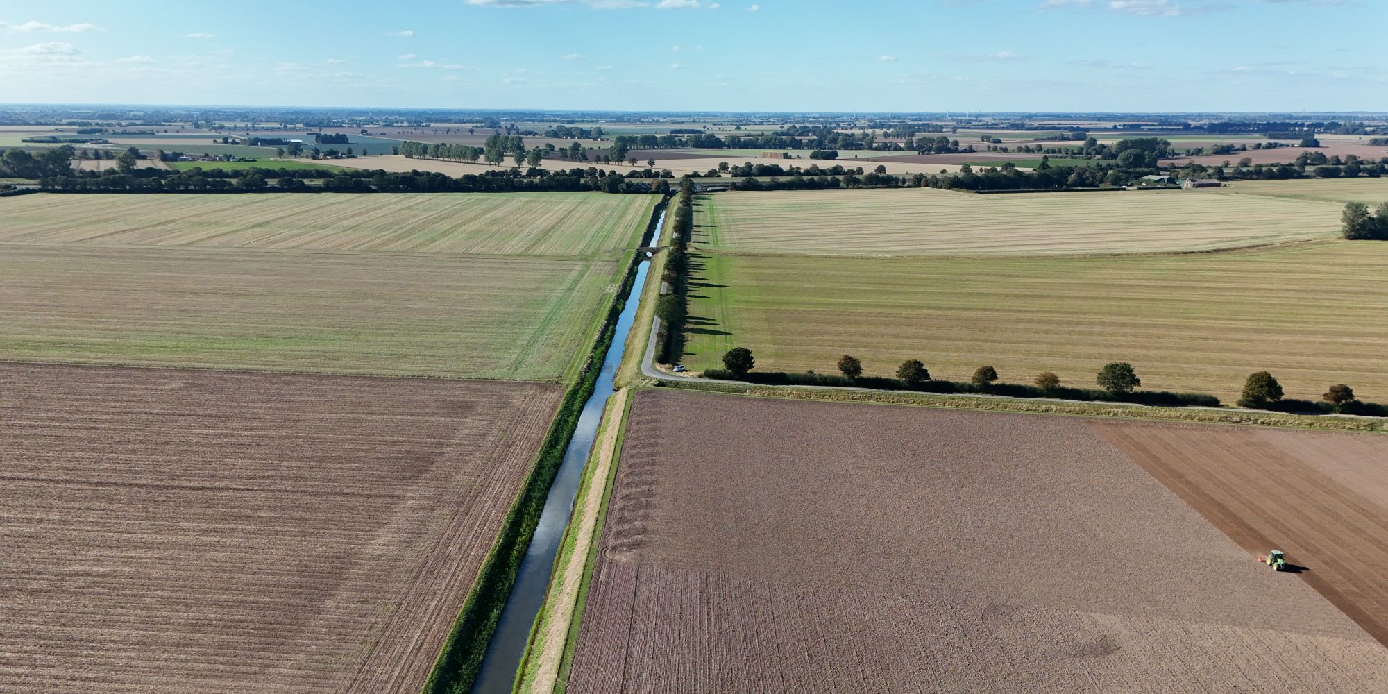
Our Area
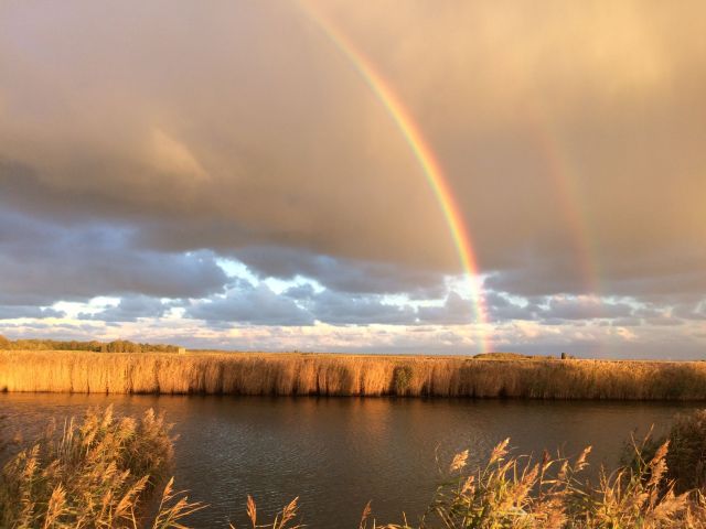
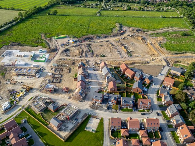
The Board’s Area includes some of the most rapidly developing conurbations in the country and some of the most fertile arable land in Europe. The area is home to around 100,000 people and a thriving local economy, which is growing fast. The area is both locally and nationally important and worth the cost of defending and protecting, now and in future.
Although the entire area is at considerable theoretical risk of river flooding and inundation from the sea, the actual risk is substantially reduced by the work that we do in partnership with the Environment Agency, Anglian Water, Natural England and other Local Risk Management Authorities.
The Board’s Drainage District does not extend to its full watershed catchment area, which means that we find it more difficult to control development and flows coming into the District than we would do if we had some influence in the upper reaches of our catchment. The Board’s boundary is based on the principles of the Medway Letter established in 1933, which in our view needs to be changed so that we have the opportunity to provide an even better service.
Watershed Catchment Area draining to and including the District (hectares) | 64,523 |
Drainage District Map – Area of the Drainage District (hectares) | 35,785 |
| 31,466 | |
| 4,319 | |
Designated Wildlife Sites (hectares) | 450 |
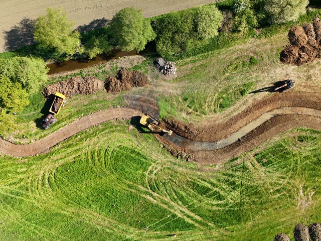
Board’s Infrastructure
| Number of Pumping Stations | 15 |
| Number of First and Second Line Sluices | 11 |
| Number of Other Water Level Control Structures | 15 |
| Length of Watercourse (kilometres) * | 598 |
| High Priority Watercourses, as defined by the Board (kilometres) | 370 |
| Raised Embankments (kilometres) | TBC |
Environment Agency Infrastructure
Main River (tidal and fluvial) (kilometres) | 34 |
River Raised Embankments (kilometres) | 34 |
Sea and Tidal Defences (kilometres) | 20 |
Policy
Visit our Policy Page to read guidance on the Adoption and Abandonment of Watercourses and explore our Asset Prioritisation Criteria.