Need help finding something?


Mapping
Mapping is the foundation of all aspects within the Water Management Alliance and it’s member boards; it provides a visual representation of location-based information. Within the district mapping facilitates the management and decision-making processes in all departments; Asset Management, Capital Schemes, Drainage Rates, Environmental Projects, Maintenance, Planning and Risk Management.
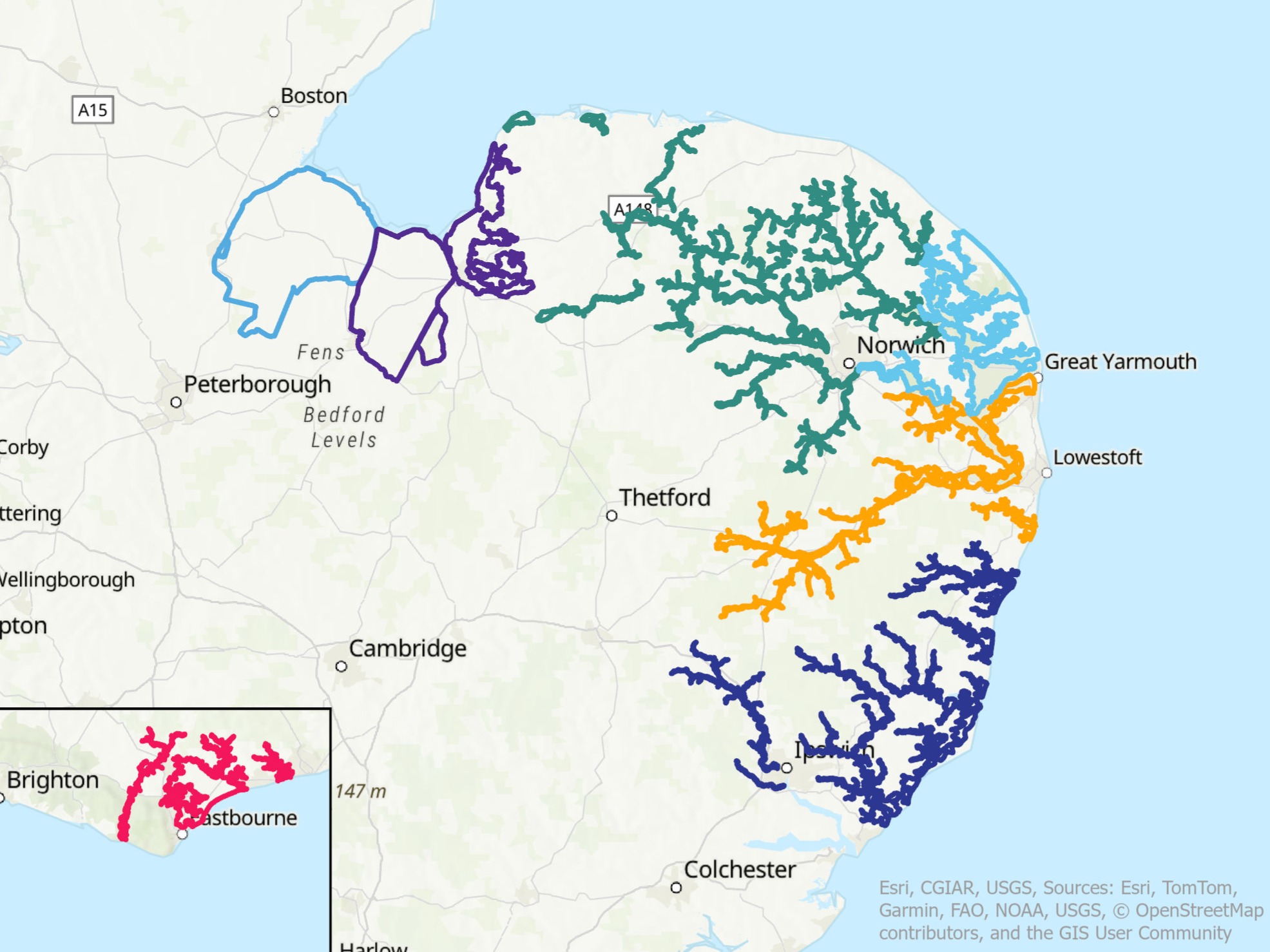
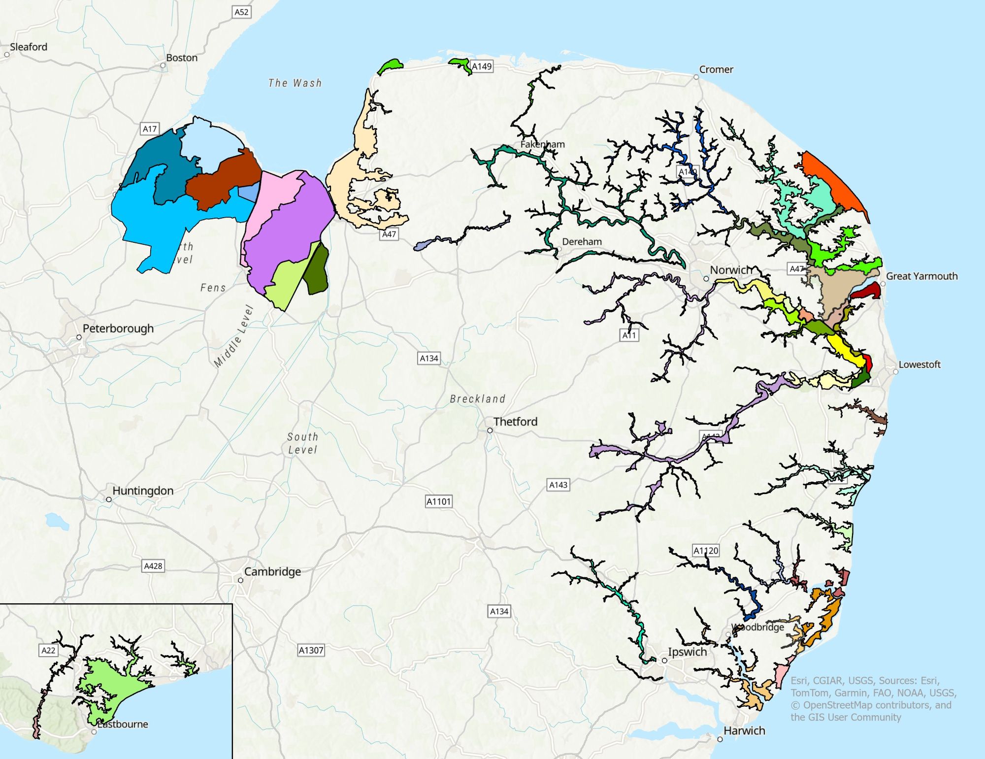
Explore our online maps to learn more about WMA Member Board boundaries and catchment assets. Discover the historical areas of predecessor boards, view our electoral boundaries and explore individual member board maps below.
Our Online Maps
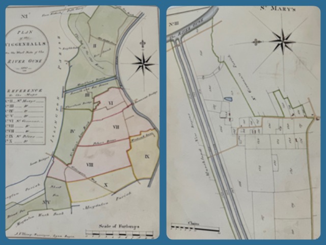
Mapping in Water Management History
Maps have played a vital role in water level management for centuries, helping communities understand, plan and adapt to their surrounding landscapes. From early hand-drawn surveys to today’s digital mapping systems, these records have informed decisions about land drainage, flood defence and watercourse maintenance.
Historical maps, such as the beautifully detailed 1832 survey books of Wiggenhall St Germans discovered in our archives, offer more than just a glimpse into the past, they show how local knowledge and careful observation shaped the foundations of modern water management.
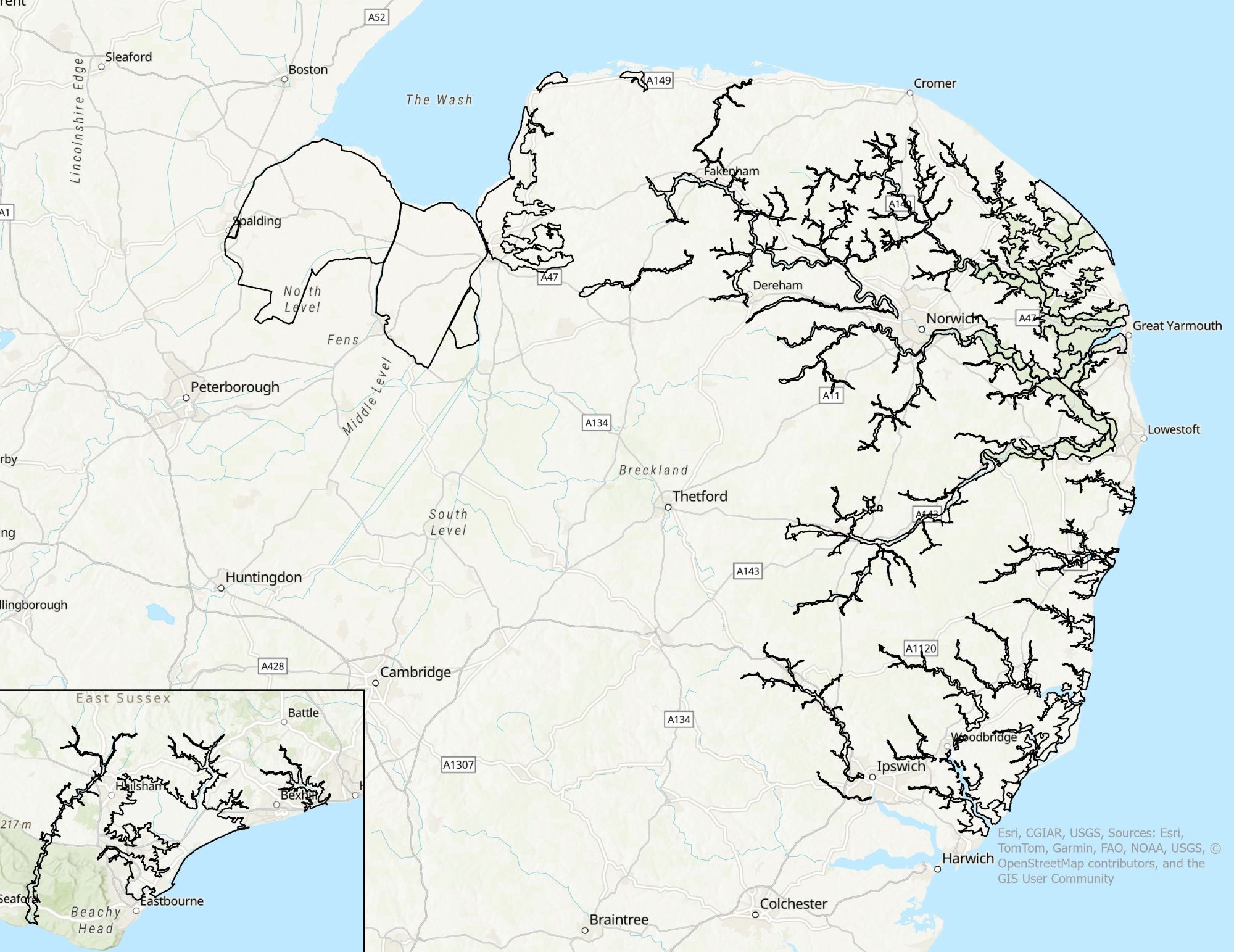
Arterial Watercourses
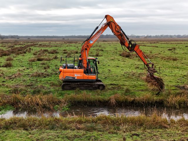
IDBs often carry out their drainage/water level management responsibilities through the designation of ordinary watercourses as ‘Arterial Watercourses’, also frequently known as ‘Main Drains’, or ‘Adopted Watercourses’. These watercourses are (for the time being) under the control of the Board.
The status of ‘Arterial Watercourse’ is an acknowledgement by the IDB that the watercourse is of arterial importance to the drainage district and normally will receive maintenance from the IDB. This maintenance is not necessarily carried out on an annual basis but on a recurrence deemed necessary to meet water level management requirements. The designations are made under permissive powers and there is no obligation for IDBs to fulfil any formal maintenance requirement and there is no change in the ownership or liability associated with the watercourse. Arterial watercourses are protected to a greater extent by the Board’s byelaws.