Need help finding something?
GIS Technician
Location:
Stewartby, Bedfordshire
Hours:
37
Salary:
£28,000 – £35,000 (dependent on experience)
Closing Date:
31st May, 2026
Attractive benefits package
- Access to the Local Government Pension Scheme
- Generous Leave Entitlement
- Car Allowance
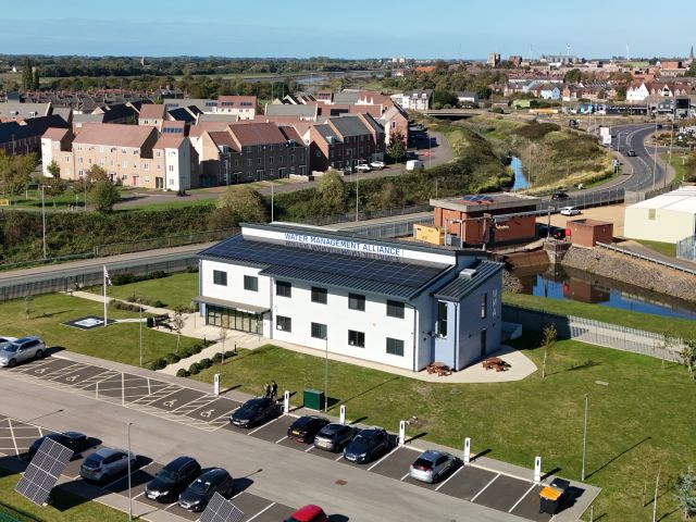
About Us (WMA)
The Water Management Alliance (WMA) is a group of like-minded Internal Drainage Boards (IDBs) who share vision,
values and standards and have chosen to jointly administer their affairs in order to reduce costs, strengthen
their own organisations and increase influence at both regional and national level. An overview of the WMA can be
found on our homepage.
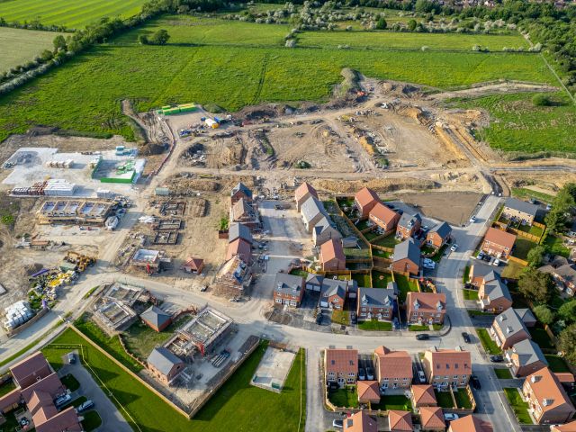
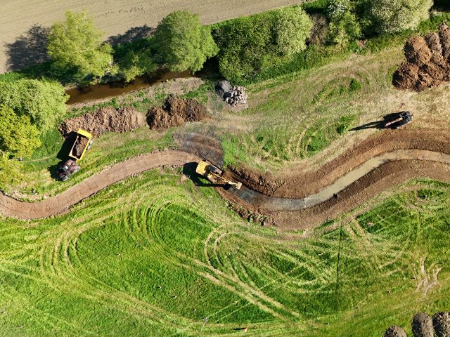
Internal Drainage Boards (“IDBs”) are local public authorities that manage flood risk and land drainage within
areas of special drainage need in England. IDBs undertake a vast range of vital work to reduce flood risk and
manage water in a way that meets the local needs of residents, businesses and agriculture in accordance with their
environmental duties whilst enhancing the ecological wellbeing of their districts.
An exciting opportunity has arisen to join the team at the Water Management Alliance (WMA)— a group of Internal Drainage Boards (IDBs) responsible for managing flood risk and land drainage across the region.
The role is based in Stewartby, Bedfordshire and will primarily support the Upper Ouse Water Management Board (a WMA Member IDB).
Salary & Benefits
- £28,000 – £35,000 (dependent on experience)
- Car allowance
- Local Government Pension Scheme
About the Role
As a GIS Technician, you will play a vital role in supporting the delivery of the Board’s objectives. You will be responsible for the precise management and storage of spatial data, ensuring that information flows seamlessly between teams to aid the effective running of the Board.
Working closely with Operational and Technical (Catchment) Services, you will be the point of contact for geographical information, helping to translate complex data into actionable insights for flood risk and land drainage management.
Key Responsibilities:
- Data Management & Digitisation: You will digitise rating polygons, IDB assets, and drainage infrastructure, linking spatial data to relational databases (such as maintenance job cards) to ensure our records are accurate and up to date.
- System Development: You will manage and develop our online mapping systems using ESRI ArcGIS Online, supporting dynamic mobile working for our teams in the field.
- Information Support: Beyond mapping, you will support internal information networks, upload data sets to the group’s intranet, and help develop dynamic forms and website content.
- Compliance & Enquiries: You will assist in managing data requests (GDPR/FOI) and liaise with third parties such as DEFRA and the Environment Agency to supply essential electronic information.
What we are looking for:
We are seeking a methodical individual with a keen eye for detail. You should have experience working with geospatial databases and office-based software (Microsoft Access, Excel). Ideally, you will be familiar with Arc-View GIS or AutoCAD, and while not essential, knowledge of Python or JavaScript would be a distinct advantage. As you will be supporting multiple member boards, the ability to prioritise workloads and communicate technical information clearly is essential.
Further Information
A detailed job pack, including the full job description and person specification can be found here.
For more information about the role or the WMA, please visit our website
www.wlma.org.uk
or contact Phillip Lovesey
on 01234 767995
or phillip.lovesey@idbs.org.uk
To apply, please send your CV and a brief covering letter to phillip.lovesey@idbs.org.uk