Need help finding something?

Norfolk Rivers IDB Mapping
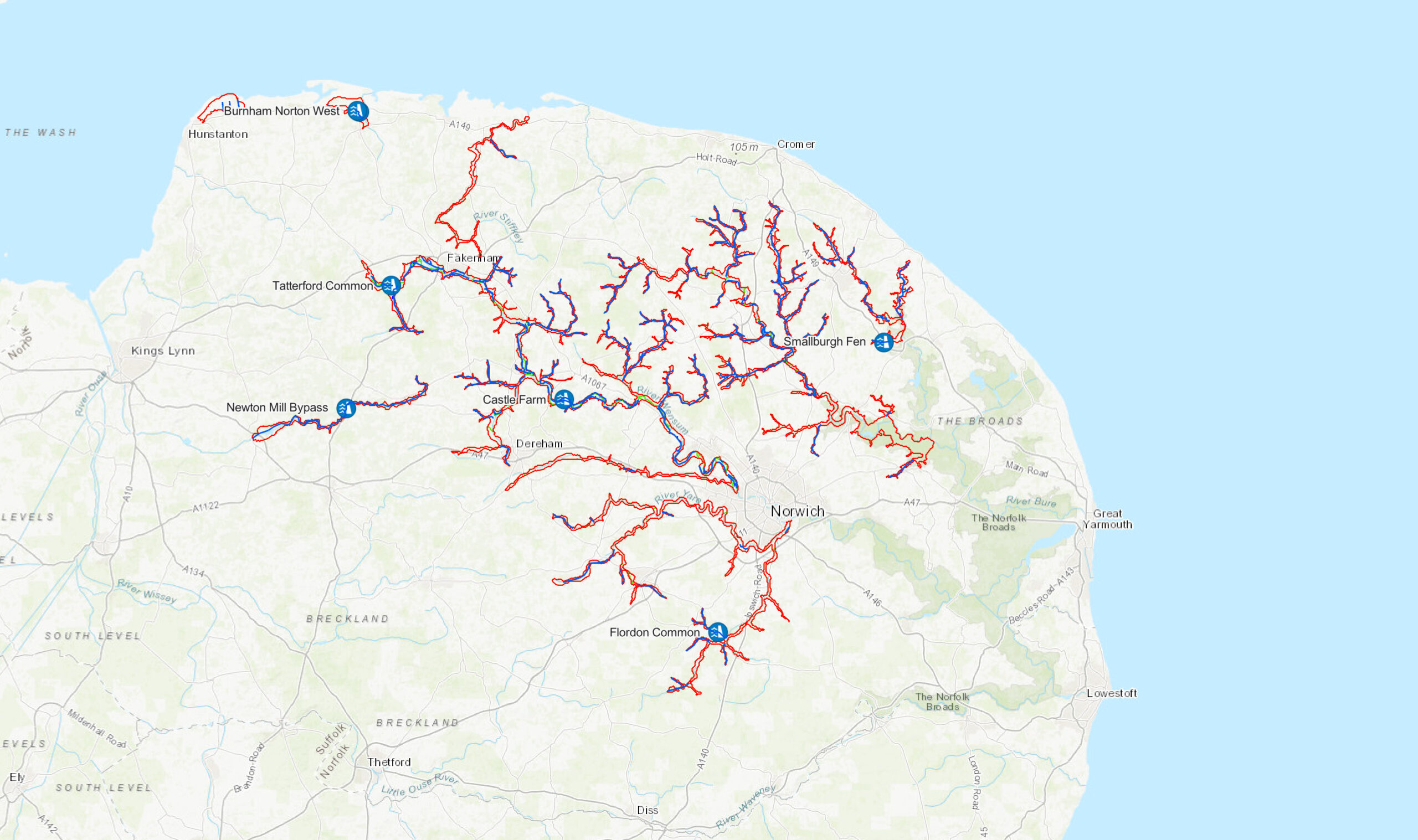
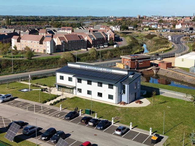
Geographical mapping is a crucial tool for Internal Drainage Boards (IDBs); visualising location based assets; pumping stations, watercourses and water control structures. We collaborate and share data with other organisations enabling a holistic view of the area. The mapping facilitates the decision making process involved in Capital Projects, Environmental Projects, Maintenance Works or working with other organisations within our district.
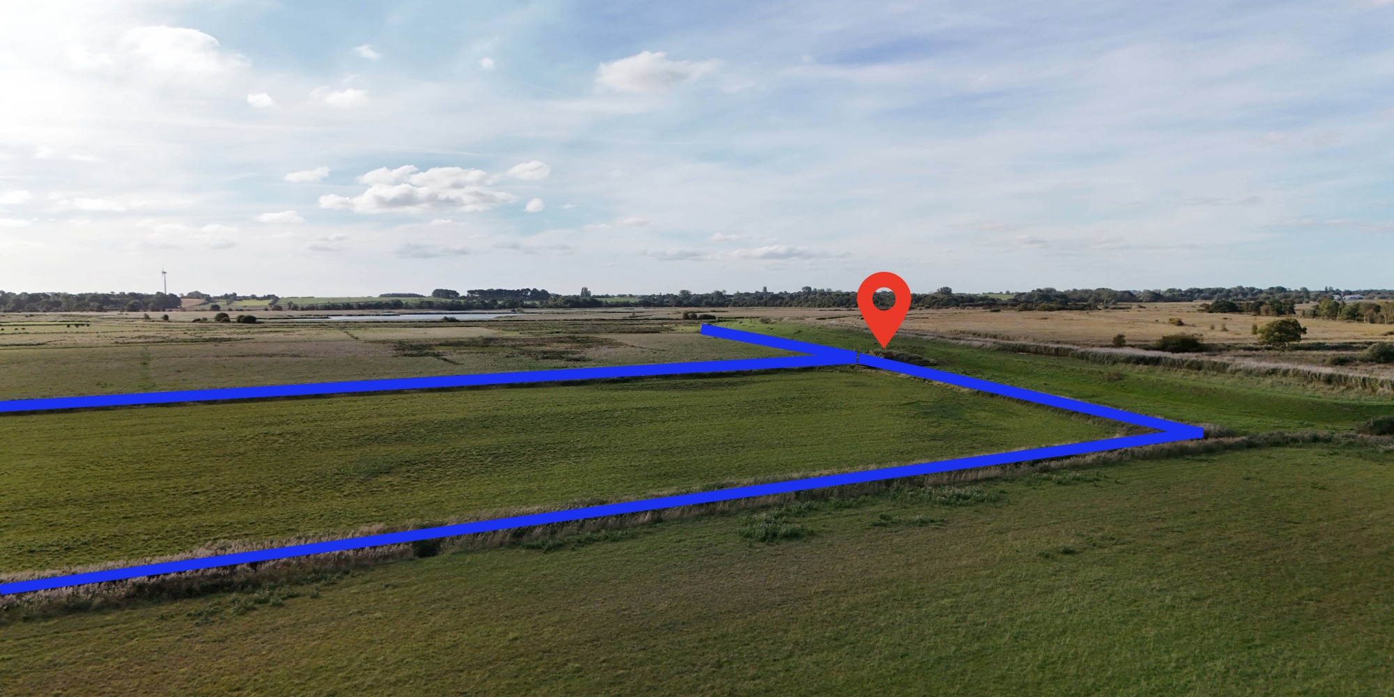
Arterial Watercourses
IDBs often carry out their drainage/water level management responsibilities through the designation of ordinary watercourses as ‘Arterial Watercourses’, also frequently known as ‘Main Drains’, or ‘Adopted Watercourses’. These watercourses are (for the time being) under the control of the Board.
The status of ‘Arterial Watercourse’ is an acknowledgement by the IDB that the watercourse is of arterial importance to the drainage district and normally will receive maintenance from the IDB. This maintenance is not necessarily carried out on an annual basis but on a recurrence deemed necessary to meet water level management requirements. The designations are made under permissive powers and there is no obligation for IDBs to fulfil any formal maintenance requirement and there is no change in the ownership or liability associated with the watercourse. Arterial watercourses are protected to a greater extent by the Board’s byelaws.