Need help finding something?
PROJECTS
Pevensey Levels Tilting Weirs
Services
Civil Engineering
Location
Eastbourne
East Sussex
Partners
IDB Storm Recovery & Asset Improvement Grant Scheme – Tranche 2 Funding
Completed
Spring 2025
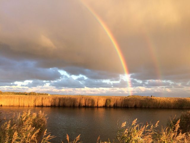
The Pevensey Levels are a nationally and internationally important wetland landscape, designated as a Site of Special Scientific Interest (SSSI), Special Area of Conservation (SAC) and Ramsar site. This low-lying area of grazing marsh supports a rich diversity of wildlife while also playing a critical role in managing flood risk for surrounding rural land and nearby communities, including parts of Hailsham, Polegate, Westham and Pevensey.
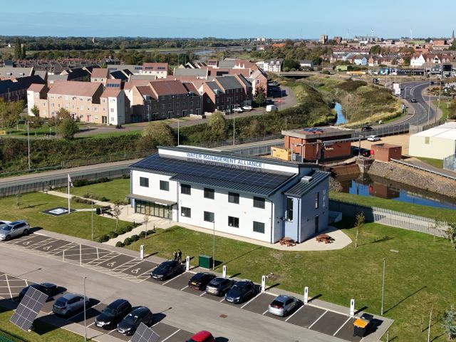
Managing water in such a complex environment requires a careful balance between flood protection, agricultural productivity and ecological needs. The Pevensey Levels Tilting Weirs Project reflects this integrated approach. The project has been made possible through funding from the IDB Storm Recovery & Asset Improvement Grant Scheme and delivered through the Pevensey & Cuckmere Water Level Management Board, contractors, specialist suppliers and environmental bodies. Engagement with landowners, Natural England and other partners has been central to ensuring the project supports both people and nature.
Project Overview
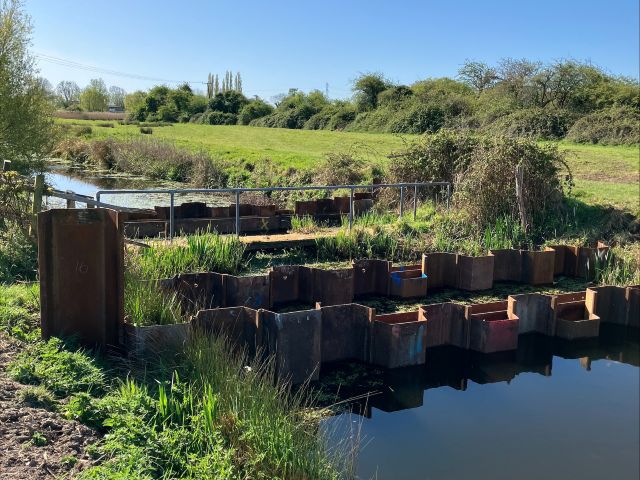
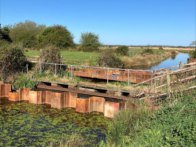
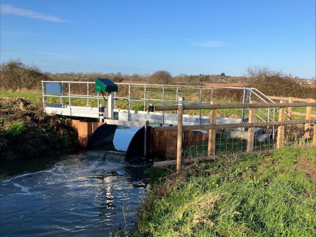
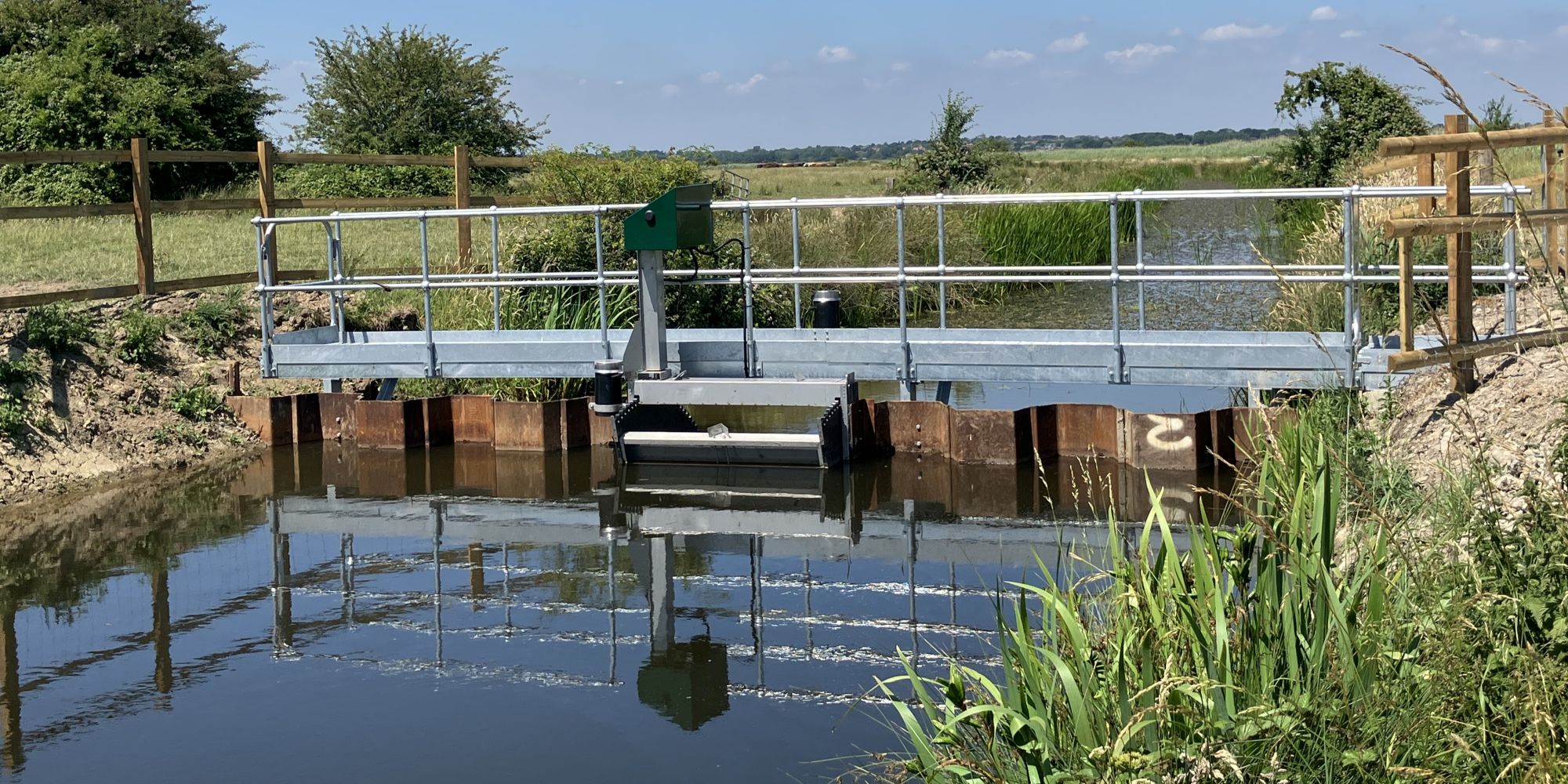
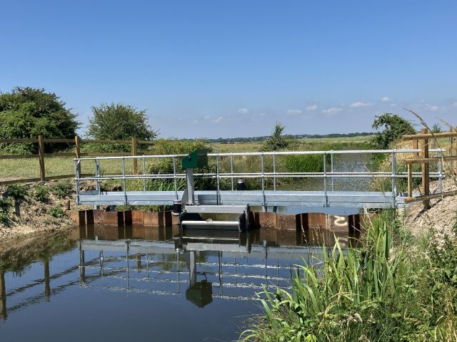
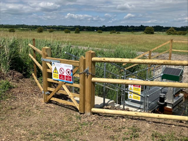
The project involved the replacement of five ageing water control structures with modern tilting weirs across the Pevensey Levels. These structures manage water entering the Levels from the east of Hailsham and surrounding catchments, helping to control flows during periods of heavy rainfall while retaining water when conditions are drier.
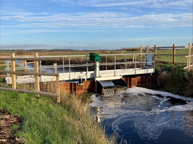
The tilting weirs have been designed to work together as a flexible system. During the winter months, they allow water to be moved efficiently towards pumping stations, reducing flood risk upstream and easing pressure on constrained downstream structures. In spring and summer, the same weirs are operated to retain higher water levels in line with the Water Level Management Plan, supporting grazing marsh habitats and minimising unnecessary loss of water to the sea.
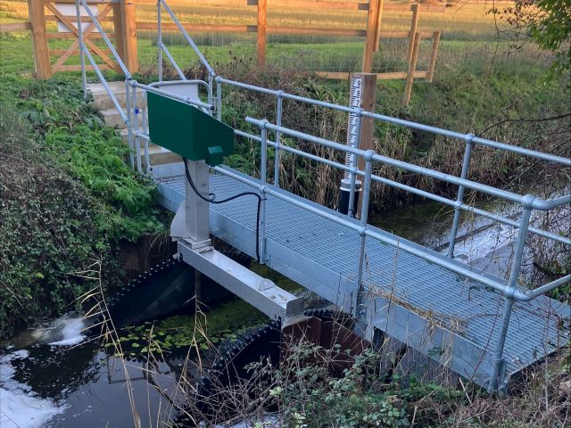
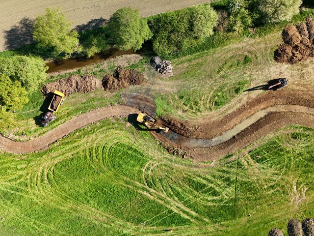
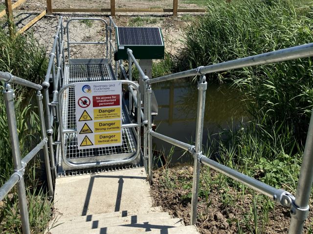
The project used a standardised design supplied by Aquatic Control Engineering, allowing efficient manufacture and installation within a tight seasonal window. Installation was carried out by experienced contractors familiar with working in sensitive water environments. The weirs are supported by solar-powered remote controls and telemetry, enabling safer operation, real-time monitoring and more responsive water level management.
Benefits
The Pevensey Levels Tilting Weirs Project delivers long-term benefits for both the community and the environment. Improved control of water levels reduces flood risk to over 1,200 hectares of agricultural land, local roads and 22 residential properties, as well as supporting resilience for existing and future development in and around Hailsham.
For the environment, the weirs help maintain the high and stable water levels required by the internationally designated grazing marshes, safeguarding habitats for a wide range of species. By reducing unnecessary drainage during dry periods, the project also supports water retention during increasingly dry springs and summers.
The new structures improve health and safety for operational staff and increase efficiency through remote operation and continuous monitoring. Overall, the project demonstrates how modern water management infrastructure can protect communities, support farming and enhance one of the South East’s most important wetland landscapes.
Project Gallery