Need help finding something?
Swavesey IDB
Our Area
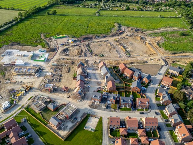
The Board’s Area is located to the east of Swavesey village in Cambridgeshire, covering more than 400 hectares of fertile arable land.
Watershed Catchment Area – draining to and including the District (hectares) | TBC |
Drainage District Map – Area of the Drainage District (hectares) | TBC |
Area of Agricultural Land, including designated wildlife sites (hectares) | TBC |
Area of Residential/Industrial and other Property (hectares) | TBC |
Designated Wildlife Sites (hectares) | TBC |
Board’s Infrastructure
| Number of Pumping Stations | TBC |
| Number of First and Second Line Sluices | TBC |
| Number of Other Water Level Control Structures | TBC |
| Length of Watercourse (kilometres) * | TBC |
| High Priority Watercourses, as defined by the Board (kilometres) | TBC |
| Raised Embankments (kilometres) | TBC |
Environment Agency Infrastructure
Main River (tidal and fluvial) (kilometres) | TBC |
River Raised Embankments (kilometres) | TBC |
Sea and Tidal Defences (kilometres) | TBC |
Policy
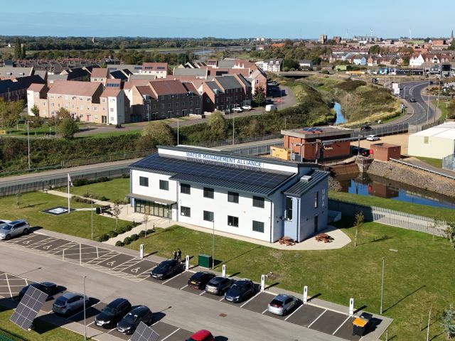
The Swavesey Internal Drainage Board (IDB) joined the Water Management Alliance as an ‘Associated Board’* on 1st April 2026.
Policies and procedure documents relating to the Boards activities are currently being updated and will be published here at www.wlma.org.uk as soon as possible.
In the meantime, if you have any specific document requests please email info@wlma.org.uk.
Thank you for your patience while we administer the transfer of the board’s documents.
* The board remains an independent organisation with its own governance and decision-making powers, but chooses to receive administrative and technical services from the WMA under an agreed arrangement. The board is therefore “Associated” with the WMA for the delivery of services, rather than being a full “Member Board”.